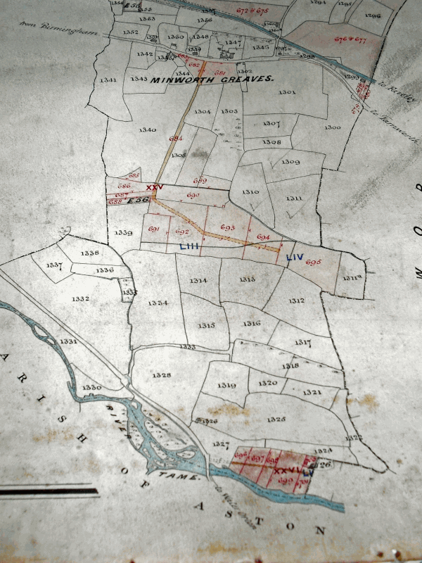
The River Tame still forms the boundary between Sutton and Water Orton, as it did in 1824 when Mr. Harris the Commissioner made his survey. It is probable that early Anglo-Saxon settlers, using the rivers to penetrate to the heart of England, established villages at Curdworth and Minworth - did they also colonise Sutton from the river? Probably not, as the name “Sutton” means “town to the south”, but Sutton lies north of the river, and the district of Sutton with a river frontage, called Wigginshill and Greaves, was not part of Sutton at the time of the Domesday survey of 1086.
The Commissioner recorded the boundary as being the middle of the River Tame up to Water Orton, passing under the centre arch of Water Orton Bridge. Then the river widened with several large islands, the boundary following the third branch of the river, “leaving the first ash tree considerably to the left and another ash tree a little to the right”, continuing along the river nearly as far as the mill.
The boundary here had been in dispute, according to Zachariah Twamley in his unpublished history of Sutton written in 1855 when he was 83 years old. He claimed that “After the Rev. John Riland M.A. become Rector in 1790 the parish was wrong perambulated.” A correct perambulation had been made in 1758 when Richard Bisse Riland became Rector and made his perambulation with his churchwardens, one of whom was William Twamley of New Hall Mill, grandfather of Zachariah. “I well remember”, wrote Twamley, “the Reverend Francis Blick having that part of the Tame (which runs through the Holmes in Sutton Parish) fished with nets about 1781 in order to keep up the manorial rights of Sutton Coldfield, he being Warden, taking the Sergeants at Mace with him, John Wood and Thomas Burd and several more.” In 1781 the river was still unaffected by the polluted effluent from the factories of Birmingham and the Black Country
At Water Orton Holmes, according to Twamley, the boundary should have brought more of the islands into Sutton but the Earl of Bradford (of Castle Bromwich Hall) had laid claim to them and harvested the alder trees growing there (the finest quality of gunpowder was made using alderwood charcoal).
.