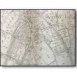
This set of 19 Victorian Ordnance Survey Maps has recently been generously donated to the Sutton Coldfield Local History Research Group for use by its members. These very revealing and interesting maps are all dated around the late 1880s and many are coloured.
Warning! While this page works with most modern browsers, for the best experience we recommend: Mozilla Firefox, Google Chrome, Safari or Edge Browser.
Internet Explorer is known to have problems viewing the enlarged images in this section.
Due to the large image size, this section is not recommended for mobile devices, other than when using WiFi.